Residential
Gunesli14 photos
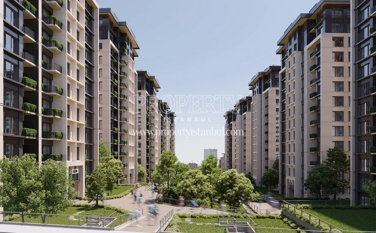
The One Gunesli
- Delivery
- Under construction
- Units
- 617
- Land area
- 15,000 m²
Developer: Bardo Insaat

Referans Gunesli is a completed residential and commercial project by Kiler GYO in Istanbul. 161 units in total, in 1+1 to 4.5+1 plans. It is 12 minutes on foot from Yeni Mahalle metro station.
The Referans Gunesli project is located in the center of Mahmutbey Road, which links the Basin Ekspres Road and E-5 to the TEM highway, in Gunesli. It is constructed on a 9.234 sqm land area and has 193 independent units in 2 blocks. Referans Gunesli consists of 161 residences and 32 commercial units. The types of the residences vary between 1 + 1 and 4 + 1.
Although Referans Gunesli is in the middle of luxury life with a wide choice of shopping facilities and entertainment sectors, it contains a wide range of social facilities within itself, too. It offers many social privileges to its residents such as an indoor swimming pool, a fitness center, a Turkish bath, a sauna, a playground for children, a sports center, themed terraces, a hobby hall, guest suites and more…
As a new prestige center of Istanbul, Mahmutbey Road is becoming the center of investments. Giant shopping malls, five-star hotels, universities, hospitals, airports and business plazas are around Referans Gunesli. The project offers you both a comfortable life and a profitable investment.
Referans Gunesli also has lots of transportation opportunities. Mahmutbey subway station and Yenimahalle subway station are right next to the project. In addition to this, it is easy to reach the Marmaray with the Yenikapi transfer option on the subway line.
| Bedroom + Living Room | Area (m²) |
|---|---|
| 1 + 1 | 44 – 45 |
| 2 + 1 | 89 – 114 |
| 3 + 1 | 117 – 141 |
| 4 + 1 | 150 – 182 |
| 4.5 + 1 | 182 |
Road distance, and the drive from an empty road to normal daytime traffic. Rush hour can take longer. Check the distance to any school, hospital or station on the Istanbul property map.
It is located near the E-5 highway, which has lots of transportation opportunities such as the metrobus line and bus lines.
Developer: Bardo Insaat
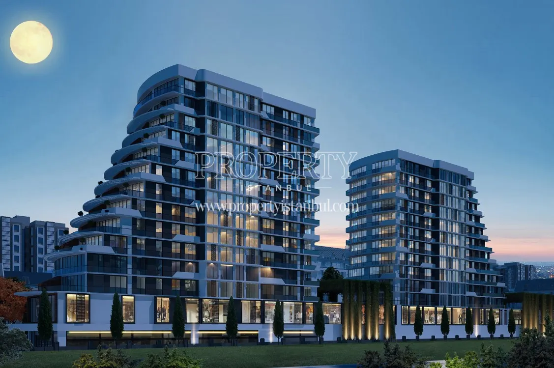
Developer: Umt Insaat
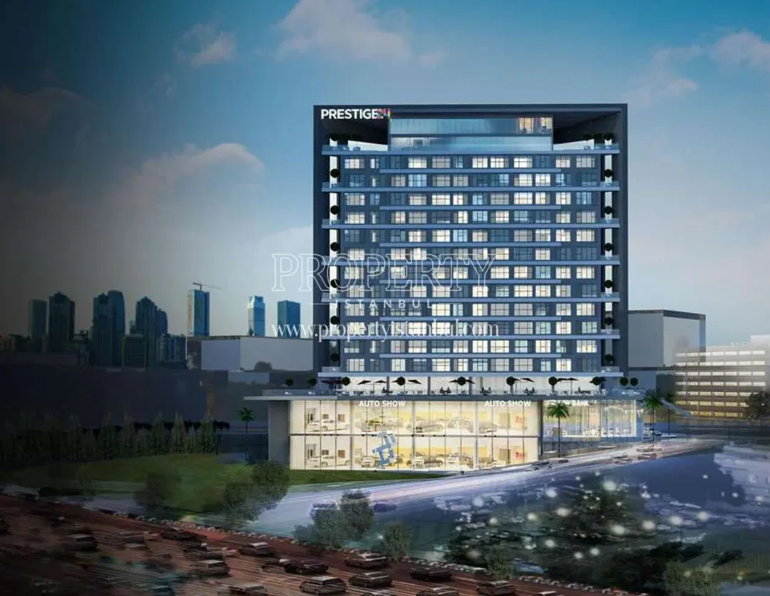
Developer: 24 Gayrimenkul
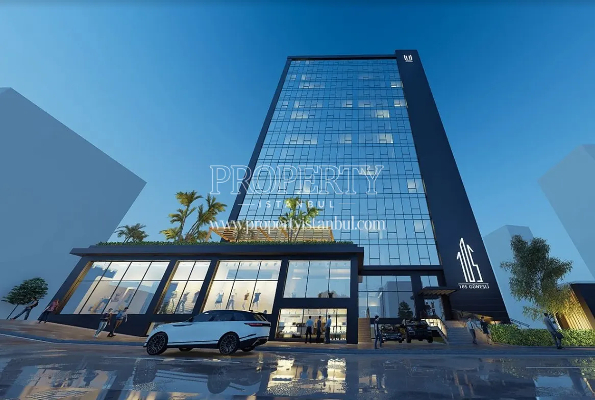
Developer: Haya Adi Ortakligi